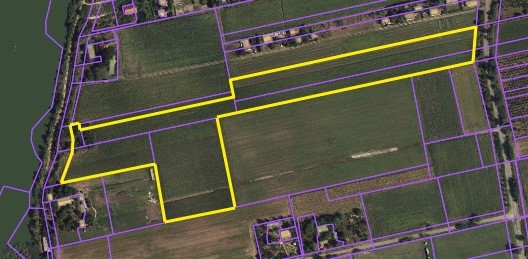
Plot No. 15
PLOTS: 1639/2 , 1640 , 1666/5 , 1664/1 , 1641/16 , 1641/18 cadastral municipality
OWNERSHIP: 1639/2: City of Subotica, 1640: City of Subotica (4055/6206) and „Pod nebom“ Ltd (2151/6206), 1666/5: City of Subotica, 1664/1: City of Subotica, 1641/16: City of Subotica, 1641 /18: City of Subotica
LANDPLOT SIZE: 35446 m2 (1639/2: 386 m2, 1640 (part): 4055 m2, 1666/5: 4749 m2, 1664/1: 11256 m2, 1641/16: 9779 m2, 1641/18: 5221 m2)
CURRENT STATUS: 1639/2: public construction land, 1640: public construction land, 1666/5: public construction land, 1664/1: public construction land, 1641/16: public construction land, 1641/18: public construction land
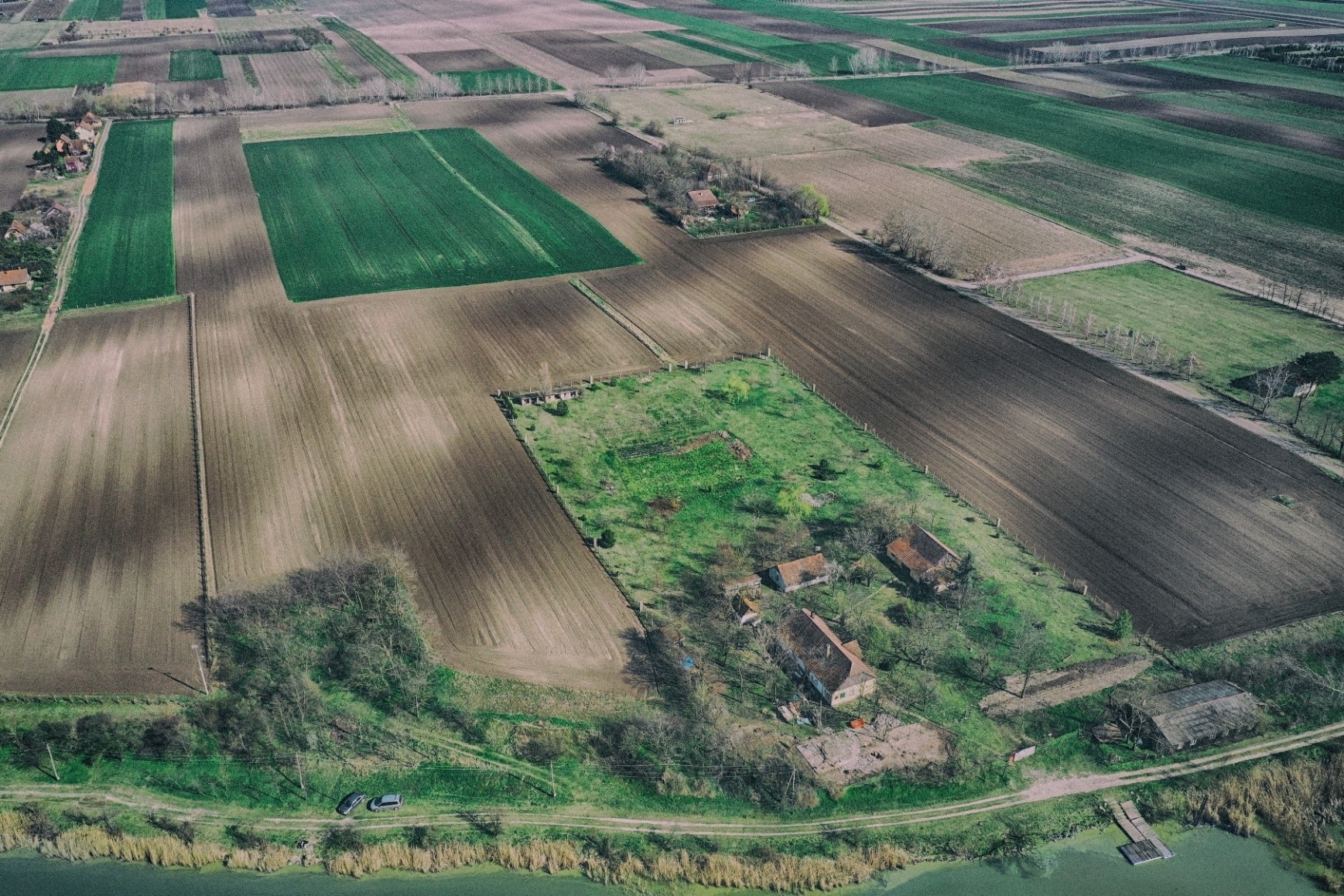
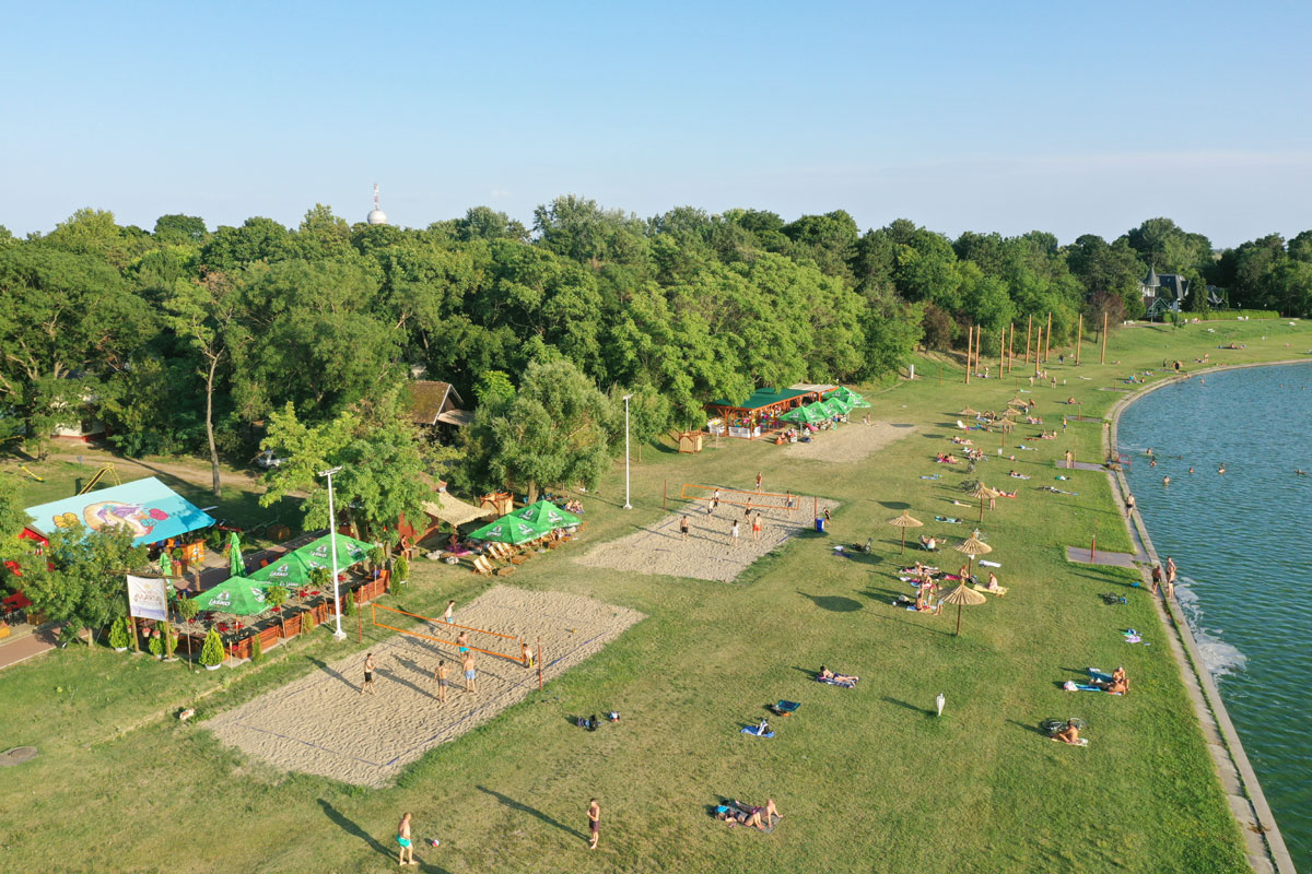
LOCATION: east shore of Palic Lake
A detailed regulation plan has not been made for this location.