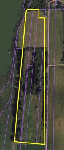
PLOTS: 13093/2 cadastral municipality Donji grad, 13095/1 cadastral municipality Donji grad, 13098/6 cadastral municipality Donji grad, 13096/2 cadastral municipality Donji grad, 13097/2 cadastral municipality Donji grad, 13099/5 cadastral municipality Donji grad
OWNERSHIP: 13093/2: Republic of Serbia (City of Subotica user), 13095/1: City of Subotica, 13098/6: City of Subotica, 13096/2: City of Subotica, 13097/2: Republic of Serbia (City of Subotica user), 13099/5: City of Subotica
LANDPLOT SIZE: 25269 m2 (13093/2: 6148 m2, 13095/1: 2446 m2, 13098/6: 8823 m2, 13096/2: 422 m2, 13097/2: 2771 m2, 13099/5: 4659 m2)
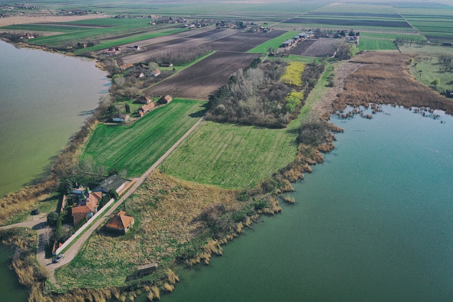
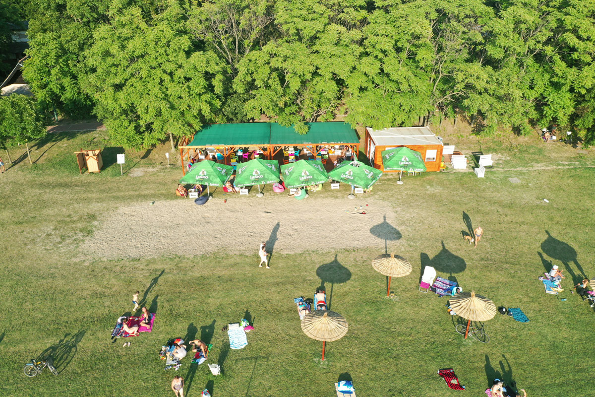
PURPOSE OF USE: Excursion zone – part of a spatial unit with special natural values, positioned south of the former Vecernjes farm and next to the forest.
TYPE AND PURPOSE OF FACILITIES: The construction rules are established only for this аrеа, for construction of a basic facility with accompanying contents, which is sufficient to secure the issuing of a location permit for that facility, without the possibility of dividing the plot and with the condition that the facility should remain owned by the City or, if possible, rented.
Construction of the following content is permitted within the facility: tourist reception and information center, rooms with a kitchenette, a classroom or a room for education, a cafee for refreshments, auxiliary rooms for temporary disposal of excursion equipment, possibly a couple of rooms for accommodation and other rooms of similar purpose. Within the facility or in its vicinity, it is allowed to build a canopy – the maximum area of approx. 30m2.
As mentioned, it is not allowed to divide plots for the purpose of construction. Their unification in a unique plot and possibly separating a plots under the facility is possible, which will also represent land for its regular use because the surrounding area will be exclusively an area for public use.
MAX. ALLOWED FLOORS: ground floor + attic, sanitary unit is built independently (ground floor).
TYPE OF LAND: urban construction land
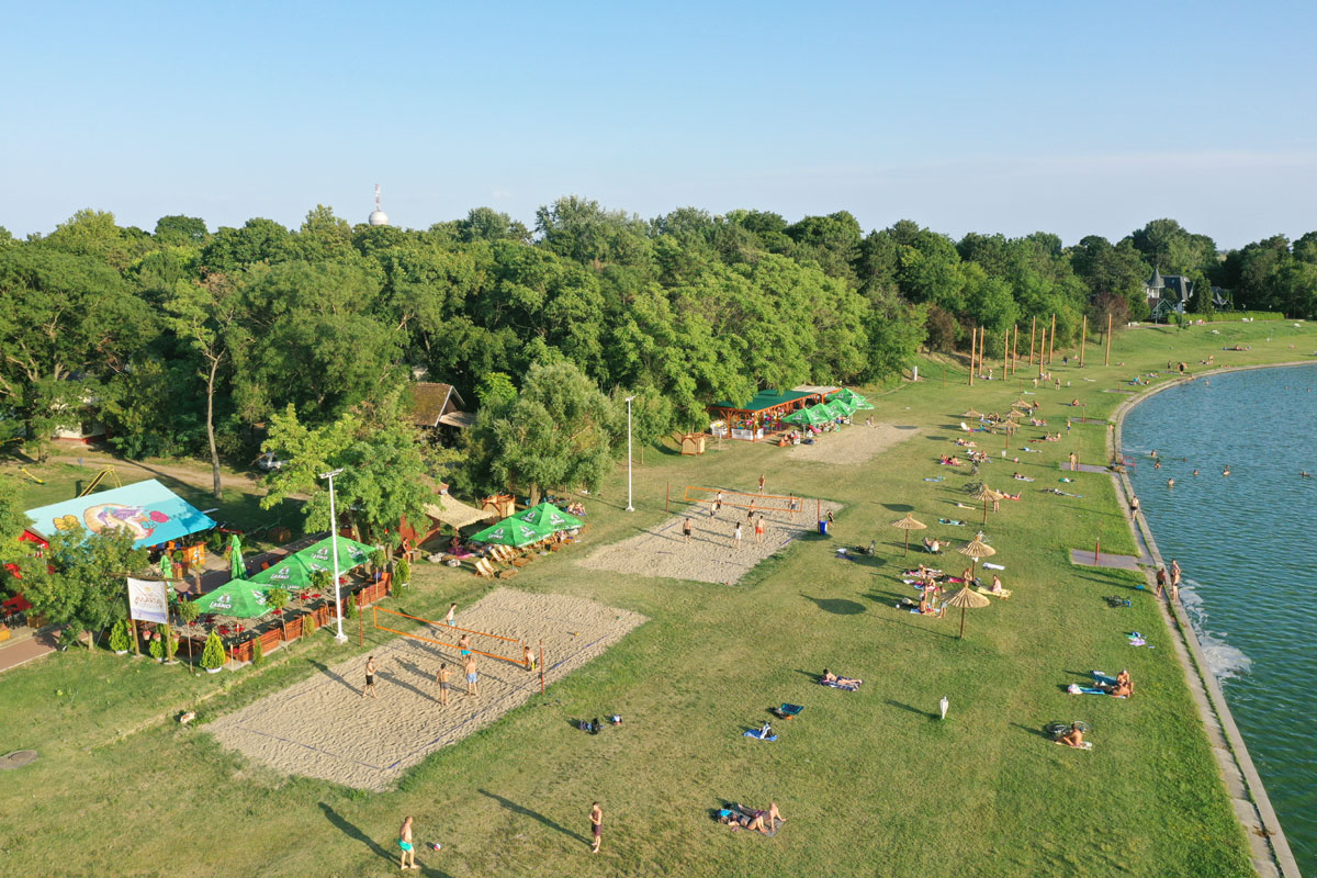
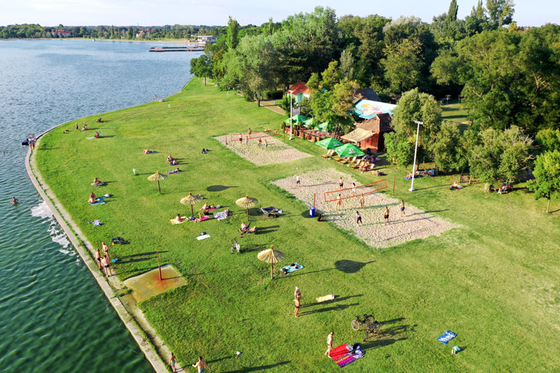
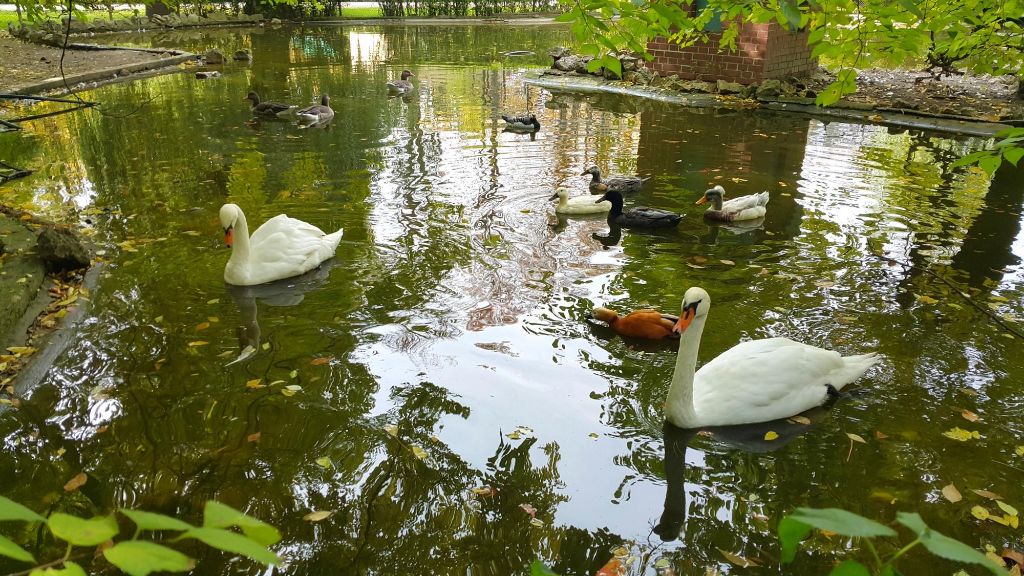
LOCATION: southern coast of Palic Lake